Weather.comlooked at six factors to determine which places across the United States will get hit the hardest by climate change and narrowed it down to the top 25. Fear not New Yorkers — we are not number one. New Orleans came out on top this time.
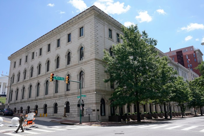
However, the city is in the top five, so perhaps it is time for residents to show a little concern for our planet. At number four, New York City is far from immune when it comes to Atlantic hurricanes. According to Weather.com, the city could be in the line of fire more frequently in the future due to extreme precipitation increases. Not to mention, New York state’s coast can expect sea levels to increase anywhere from 18 to 75 inches by the end of the century. One hundred years may seem far away, but in terms of how old the Earth is (4.54 billion-years-old), a century is but a sliver of time. In February of this year, Mayor De Blasio released an NPCC Report that projected the sea level rise in New York City. The projections show an increase between 11 and 21 inches by the 2050s, between 18 and 39 inches by the 2080s and between 22 and 50 inches by 2100 with a worst case scenario projection of up to six feet by 2100. What would happen if the city’s sea level rose by six feat? Users can look at theNational Oceanic and Atmospheric Association’s (NOAA) Sea Level Rise and Coastal Flooding Impacts simulator and get a pretty good idea about would be underwater and what would survive. The map allows users to see what a place will look like with different stages of sea level rise, the highest being six feet. It also shows what famous landmarks and well known streets and places would look like under the selected level of sea rise. At six feet New York is looking at some losses, the edges of the city are going under and we can kiss FDR Drive and Joe DiMaggio highway goodbye.
The Upper West Side is doing better than the Upper East Side, but both are far from obsolete.
The Financial District and Battery Park have seen better days.
Weather.com’s methodology consisted of looking at the six factors including: Sea Level Rise, Extreme Precipitation, Extreme Drought, Urban heat islands/extreme heat, Average temperature changes and average precipitation changes. After analyzing each of the factors for the top 100 cities across the U.S. with a population of 200,000 people or more, each city got a score. Once each had a numerical value for every category they got added up and put in order and the top 25 made the cut. And New York was number 4. “Damage threatens not only communities and infrastructure,” the New York State Department of Environmental Conservation wrote to weather.com, “but also critical ecosystems that buffer against floods, protect drinking water and provide habitat for important species.” If you’re feeling particularly cynical about NYC’s future and would like to embrace the worst case scenario, check out this map published by Seattle based urban planner, Jeffrey Lin, that imagines a drowned New York City.
Sports
 Carl Erskine, Dodgers pitcher and last surviving member of ‘Boys of Summer,’ dies at 97
 Mbappé scores twice as PSG beats Barcelona to reverse 1st-leg loss and reach Champions League semis
 Dortmund digs deep to beat Atlético 4-2 and reach Champions League semifinals with 5-4 aggregate win
 Injuries are limiting Antetokounmpo and Lillard as Bucks start playoff preparations
 Michigan gets 3 years of probation for football recruiting violations; case vs. Jim Harbaugh pending
News
 Vandal sought for repeatedly breaking into Northwest Philadelphia church
 Trump to meet with Polish president Duda as NATO leaders call for additional support for Ukraine
 Court papers show Sen. Bob Menendez may testify his wife kept him in the dark, unaware of any crimes
- Man wanted for murder turns himself in following City Avenue killing
 Ohio man fatally shot Uber driver after scam phone calls targeted both of them, authorities say
Related Articles
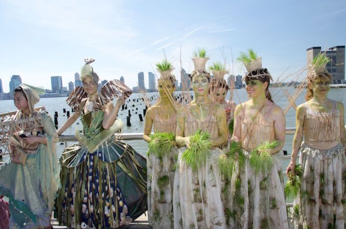 ‘Ecological City’ uses the arts to inspire environmental action in New
York City
‘Ecological City’ uses the arts to inspire environmental action in New
York City While you were sleeping: nine dead in Charleston shooting, God says quit
polluting, U.N.: ‘The world’s a mess’
While you were sleeping: nine dead in Charleston shooting, God says quit
polluting, U.N.: ‘The world’s a mess’ West Roxbury pipeline opponents to fight big oil at Sunday rally
 Germany urges G7 leaders to tackle climate change with new targets
More from our Sister Sites