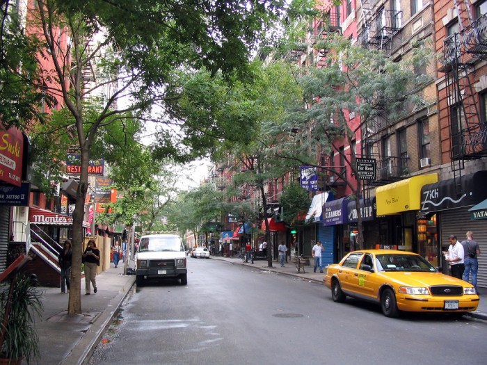
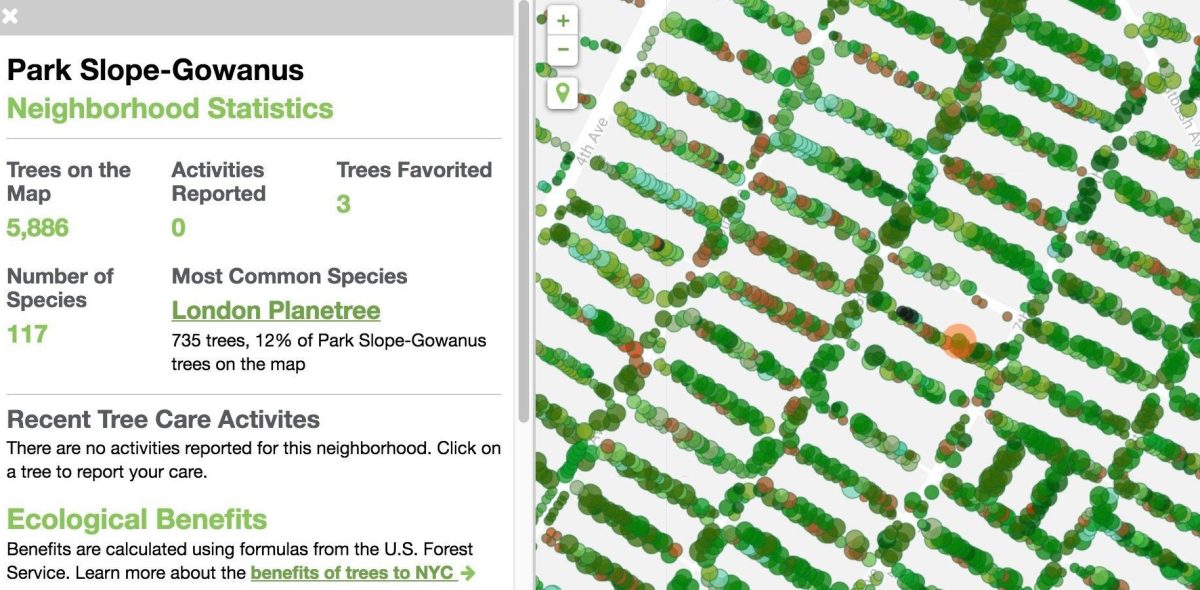
The last time the city catalogued its street trees was back in2005-2006, when they found about 592,130 trees on public streets, including their species, trunk thickness, and condition (you can explore amap of all this info). In the summer of 2015, the Parks Department put out acall for volunteersto help with the next round of data collection,and they received help from2,241 individuals who completed a third of the work. They’ve now released the results of the 2015-2016 census, which shows an increase of 12.5 percent to666,134 trees covering 209 species, and compiled their findings into aninteractive map.![]()
Interactive map shows New York City’s trees by neighborhood
tree-map.nycgovparks.org