The January blizzard of 2016 is now in our weather rear view window, and our atmosphere is what meteorologists call, “the relaxed mode.”
That’s because the polar jet has retreated north of the border and much milder air will take over for awhile. A major storm system will move through the Ohio valley on Wednesday, meaning we will be on the eastern flank, which is the mild side of the storm and an all-liquid event. The flow out ahead of the storm could set a few record high temperatures on Wednesday as readings soar into the 60’s. I’m a bit concerned of scattered small stream flash flooding, mainly in the Philly and New York City regions as the combination of what’s left of the snow melts and liquid amounts exceeding an inch might lead to some limited flooding. The return of the polar vortex will arrive just in time for Super Bowl kick-off this Sunday.
The polar vortex has been in limited supply this winter season, making only one true appearance during our January blizzard. The one that will arrive on Sunday night is a ticking snow bomb. Right now, the energy associated with its leading clipper and attached polar front would lead to nose diving temperatures and widespread flurries and snow showers. Models are hinting that the energy with the lead clipper will eventually lead to a secondary strong storm to form somewhere along the Northeast coast, with the best chance of significant snow for New England. High uncertainty remains where the exact placement of storm intensification will take place. The more southern track the clipper takes the better chances of Philadelphia and NYC getting significant snow, with the highest probabilities pointing towards Boston.
As of today the highest threat and most likely threat of significant snow would be for New England, with Philly and NYC receiving flurries and snow showers.
By Wednesday or Thursday of this week I should have a high confidence forecast…but not until then.
Arctic oscillation will become strongly negative by Feb. 10-11(negative increases chances of snow) and the North Atlantic oscillation becomes neutral (needs to be negative for best chance of snow and a positive phase low chance of significant snow). Possibly a major storm during this time frame with rain and snow or a combination of both. NEW YORK CITY:
Temperatures on the rebound, mid-week Soaker — Super Bowl cold and snow?
Temperatures will be on the rebound this week as the mercury cracks the 50 degree mark Monday.
Major storm system will move into the area by early Wednesday morning and with readings climbing well into the 50’s this will be an all-rain event. Right now I’m looking at the chances of localized street and highway flooding and maybe isolated small stream flash flooding due to snow melt and rain amounts exceeding one inch. SuperBowl Sunday:Coastal storm will try to form just off shore, with this in mind going with flurries and scattered snow showers. Becoming very windy with falling temps. If storm develops sooner and more south, forecast outlook would need to be revised. Will have it more locked in by late Wednesday or Thursday. Right now low confidence in eventual outcome. February 9-11:Possible major storm with rain and or snow
PHILADELPHIA:
Record high temps by Wednesday…Polar Vortex returns on Super Bowl Sunday.
Most of the snow continues to melt away, and temperatures this week will be on the rebound.
The nicest day of this week will be Tuesday as temps will be in the low 50’s with a fair amount of sunshine, Monday will be nice withreadings well into the 50’s but a good deal of cloud cover and risk of a shower. MAJOR STORM ON WEDNESDAY
This one will be ALL rain, with the chance of scattered small stream flash flooding due to the combination of snow melt and rain amounts exceeding one inch. Record high temps for some as the mercury soars into the 60’s. Polar Vortex Returns Sunday
Right now it looks like nose diving temps with flurries and scattered snow showers. Must watch for possible coastal development, which would mean big changes to current outlook.
Time frame to watch:Feb. 7…low chance of coastal storm with snow.
Feb.10-11Major storm threat..right now rain, possibly changing to snow, or combination of rain and snow.
BOSTON:
Rebounding temps..Mid-Week Soaker- Super Bowl Polar Vortex
Temperatures will be heading into the 50’s Monday, but sunshine will be limited and we can see a passing shower or two and any patches of fog will dissipate.
Pick of the week:Tuesday with plenty of sunshine and readings in the mid-40″s, I’ll take the sunshine over the clouds, and showers any day.
Wednesday Soaker:Storm system heading through the Ohio Valley will mean strong gusty winds, a few heavier periods of rain, perhaps a boomer. Temperatures will zoom into the mid-50’s. Pockets of localized street and Highway flooding. Super Bowl Sunday –watching storm formation.
What we know…Polar vortex sinks southward, energy diving south and east will instigate storm development off the coast of Southern New England.
What we don’t know: Where exactly does strong cylogenesis take place, if its more southward placement (south of Long Island) then we will be dealing with significant snow especially across the Capes and parts of Southern New England. For now will include the chance of some snow for Sunday night. Early call yet and homey don’t play that game this early in the forecasting period… simply a heads up! Feb.10-11major storm potential. Possible snow and rain.
Bolaris’ Weather Watch: Polar vortex to kick off on Super Bowl
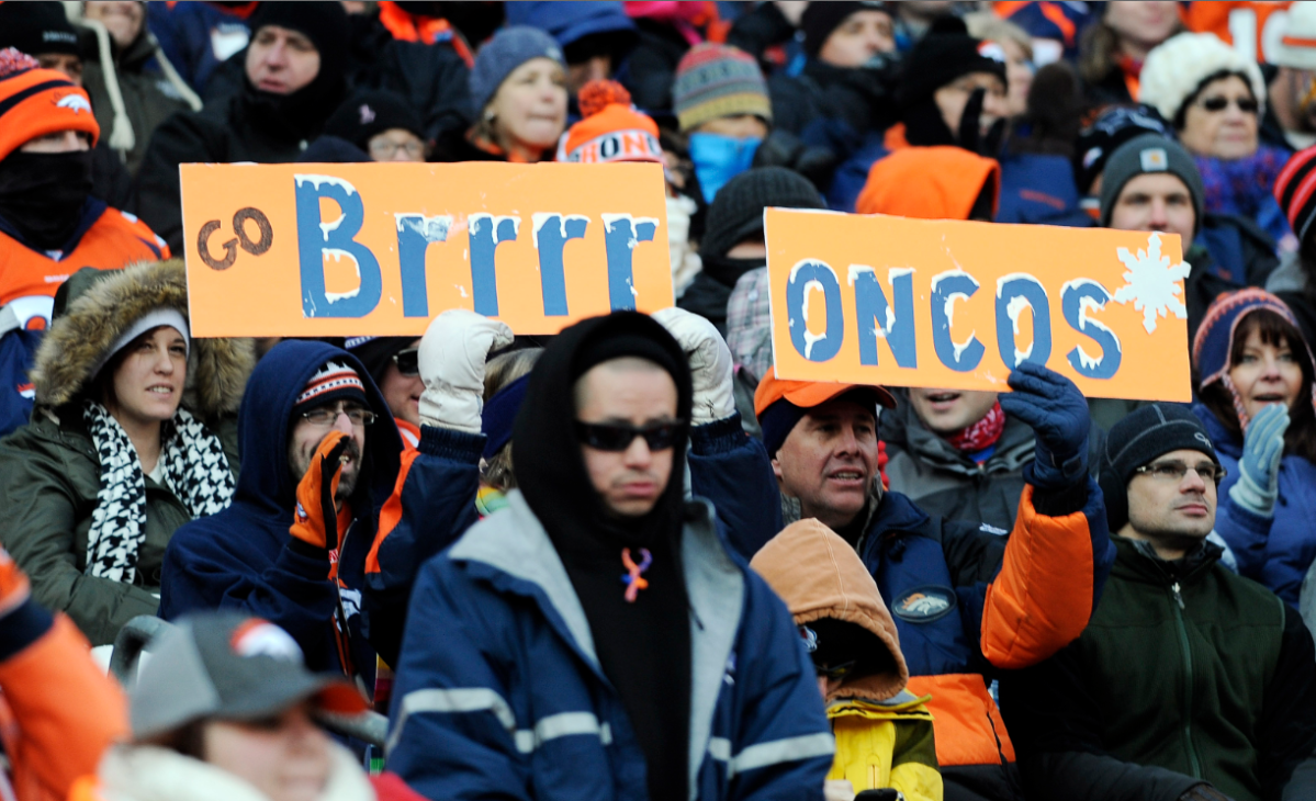
Getty Images


