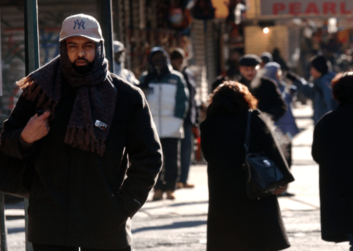
As the song says, “What a difference a day makes, Twenty-four little hours.” A shocking change slammed us about 36 hours ago. The first true Arctic blast of the season collided with an unseasonably warm air mass on Saturday and it sent folks scrambling for theirwinter gear as temperatures in many locations soared into the lower 70sbefore the Arctic hammer came down. The mercury plunged some 20 degrees in a blink of an eye asrain showers quickly changed over to sleet and then snow. This was the first snow of the season for a good portion of the Northeast and Mid-Atlantic. The eastern slopes of the Berkshires, Catskills and the Poconos picked up several inches of snow. The Green Mountains of Vermont had over a half-foot and we still have leftover snow showers there in themorning, making travel difficult in the higher elevations, especially over 1,500 feet. Another strong sign of winter is the return of lake-effect snow as parts of western New York and western Pennsylvania are still getting hammered this morning with many places picking up over a foot of heavy wet snow. Boston, New York and Philly are battling strong, cold winds today as the mercury will hover in the 40s. However, with those winds gusting over 40 mph at times, it will feel dramatically colder.
Expect limited sunshine and don’t be too surprised if you see a few flakes flying even in the major cities.
An Arctic dome will be on top of us on Tuesday and this will allow the wind to subside. So although readings will be about the same as today, it won’t feel nearly as cold with lighter wind and more in the way of sunshine. The biggest travel day of the year will arrive on Wednesday and right now your planned travel should be nice and dry. However, by late Wednesday night we might see some light rain moving in, and if it gets in early enough some of the higher elevations to the northwest of the metro region could see some wet flakes or sleet. This would occur mainly in the mountains. I’m not anticipating any type of icy problems in the cities. The rain will move out by later in the day on Thanksgiving, followed by a dry, nice Friday.
Some signs indicate that a coastal storm could develop over the weekend, but right now confidence in forecasting such an event is low.
New York
Today: Windy and cold, 44.
Tuesday: More sun, less wind, 47.
Wednesday: Sunny, late clouds, 50.
Thanksgiving: Light rain ending at night, 53.
Friday: Sunny, milder, 57.
Saturday: Possible coastal storm developing, 52.
Sunday: Possible rain, 47.
Philadelphia
Today: Windy and cold, 45.
Tuesday: Sunny, light wind, 47.
Wednesday: Partly sunny, 50.
Thanksgiving: Light rain through mid-day, 52.
Friday: Mostly sunny, 57.
Saturday: Possible coastal storm developing, 50.
Sunday: Possible rain, 48.
Boston
Today: Windy, cold, 40.
Tuesday: Still brisk, cold, 44.
Wednesday: Sunny, 47.
Thanksgiving: Light rain, 45.
Friday: Moring shower, 51.
Saturday: Possible coastal storm developing, 47.
Sunday: Late rain possible, 45.
Bolaris’ Weather Watch: Say it ain’t snow!

Getty Images