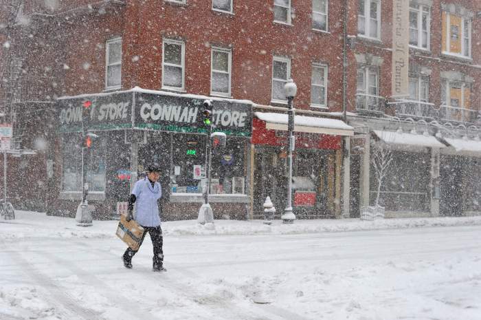
Did you enjoy Thursday’s snow day, Boston? Well, there’s more where that came from.
While it won’t rival the more than 12 inches of snow that much of Boston got hit with on Thursday, up to 3 more inches could accumulate late Friday night into Saturday, according to the National Weather Service. The mercury on Friday will be bone-chilling, reaching no higher than 21 degrees.
Much colder today w/highs 15 degs below normal & gusty winds provide bitterly cold wind chills! #Snow arrives tonight into Sat A.M. w/1-3″. pic.twitter.com/MDlF4kMlR0
— NWS Boston (@NWSBoston) February 10, 2017
The snow will end Saturday morning, turning into light rain in some parts of Southeastern Massachusetts. The temperature on Saturday is expected to hit a high of 36 degrees.
Things will be calm through Sunday morning, when the next storm front is expected to arrive.
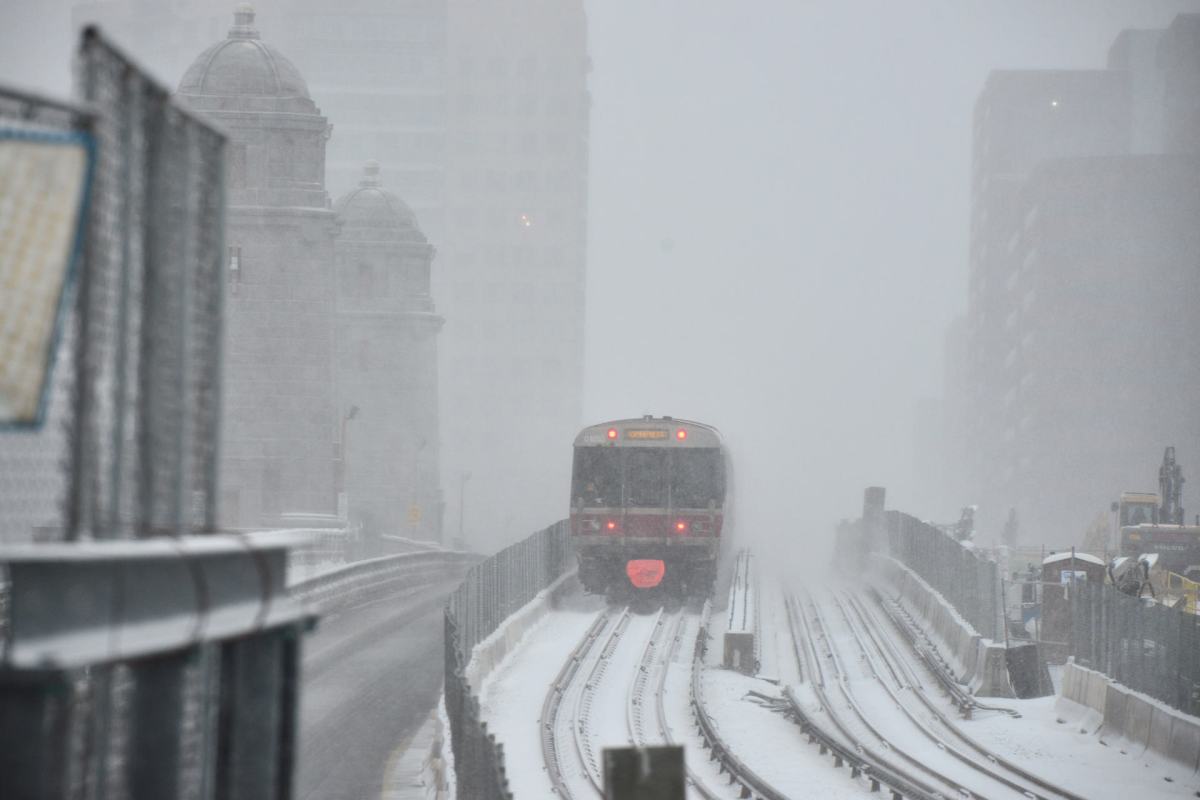
An area of low pressure will form off the New England coast, according to TheWeatherChannel, quickly gaining strength into Monday. RELATED: Boston blizzard dumps over a foot of snow A mix of snow, sleet and freezing rain will start Sunday.
By Monday, snow will be heavier at times over parts of New England, including the greater Boston area, according to The Weather Channel.
Forecasters aren’t yet sure how much snow Boston will get Monday, but some surrounding areas, including including Vermony and New Hampshire and Maine are expected to get another 6 inches of snow.
We are tracking the potential for another snowstorm to impact the #Northeast Sunday into Monday…we break down the latest forecast on @AMHQ pic.twitter.com/EiK0zP1zGj
— The Weather Channel (@weatherchannel) February 10, 2017