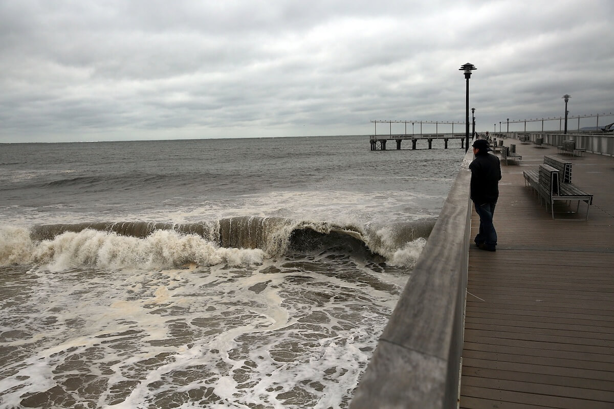
This is my early outlook for the upcoming 2016 hurricane season that officially starts on June 1 and ends on Nov. 30.
Hurricane conferences are now in full swing in the state of Florida. Analysis of meteorological data in compiling an outlook for any hurricane season is an ongoing process each and every day. I’ve been researching various meteorological hurricane forecasting tools along with opinions from the “Hurricane Experts.” Personally, I have been forecasting and chasing hurricanes for over 20 years, from Montauk, Long Island, to Miami, Florida, to New Orleans and on into Houston, Texas. I have flown into the eye of these beasts with the hurricane hunters as my camera people. Trust me, when you fly through the wall of the storm, hail banging away at the fuselage of the aircraft, it sounds like someone is taking a sledgehammer to the plane. In case you missed it, we already had our first hurricane of the season back in January, when Alex formed in the far eastern Atlantic and made landfall in the Azores off the African coast. This was the earliest since 1938. Although I believe most of the hurricane experts will be predicting a slightly below-normal hurricane season, I’m predicting a hurricane season that will be the most active in over three years and forecasting an above-average hurricane season. What is average:
12 named storms Five major factors in forecasting any hurricane season:
El Niño
Accumulated cyclone energy (ACE)
Tropical storm risk index (TSR)
Tropical Atlantic temperatures
The unknown
The ACE index stands at 80, which normally means a below-average hurricane season is in play. However, this projection has an error margin of plus or minus 57. The higher the number, the more active the hurricane season. The TSR measures the projected sheering wind across the tropical Atlantic, indicating a below-normal hurricane season. Sheering winds destroy hurricane development.
I believe the TSR and the ACE are in error. Keep in mind these model outputs are basically getting their data during the early winter season.
My belief is that El Niño is now in a rapid cooling mode and will go neutral by the time the peak of the hurricane season arrives (August-September). Strong El Niños create sheering winds across the tropical Atlantic, and stifles hurricane formation. Meaning hurricane development will go back to a favorable environment for formation. Also, although the tropical Atlantic waters are running a bit cooler, I’m forecasting the tropical Atlantic to warm. Hurricane growth is dependent upon water temperatures of 80 degrees and above. My outlook:
17 named storms (Normal average 12)
Six hurricanes
Three intense hurricanes (winds sustained at 110-plus mph for one minute)
Nine hurricanes (Normal average six)
Three or four intense hurricanes (Normal average three)
Watch out for active hurricane season in 2016

Getty


