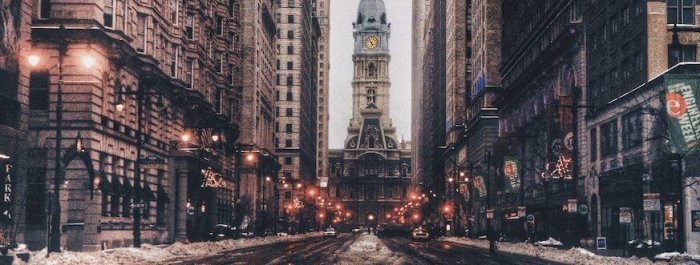
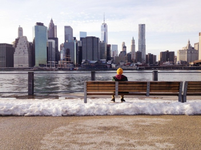
It had to happen sometime, right? After a fairly mild fall, winter weather hits New York City at full force this week.
Temperatures early Wednesday morning were in the low 20s and are expected to hit a high near 31, which may feel a lot colder thanks to gusty winds as high as 40 mph, according to the National Weather Service. The winds will continue into Wednesday night, which will see a high near 29.
There is a 60 percent chance of snow between 5 a.m. and 8 a.m. Thursday, but accumulation is expected to be less than half an inch, the NWS said.
Thursday’s high will hover near 34 before dropping to around 23 degrees in the evening.
Friday will be mostly cloudy with a high near 32, while Saturday is expected to be mostly sunny and a high near 37.
This cold snap isn’t unique to just New York, though.
“In fact, much of the East Coast will see high temperatures today around 10 degrees below average,” the NWS said Wednesday.
Tips for staying warm
Naturally, your warmest coats, gloves and hats should be among your fashion choices for the remainder of this week, and dressing in layers is recommended, as is staying indoors as much as possible.
If you are staying in and have no heat or hot water, city officials urge you to call your super or landlord, and, if the situation is not rectified, call 311 as soon as possible.
Check on family, friends and neighbors, especially the elderly, and if you see someone who you suspect is homeless and in need of help, dial 311 to alert the Department of Homeless Services.
Don’t forget to keep your furkids safe, too, by keeping walks as short as possible and wiping their paws and stomach when you come home to remove salt and other harmful chemicals that may be on the sidewalks this time of year.