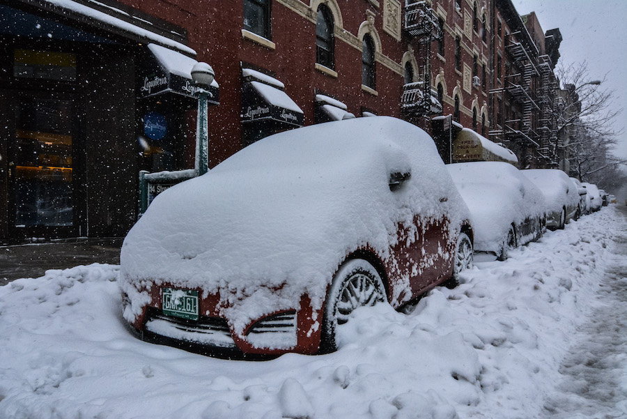
Now that we’ve had a taste of more typical winter stuff, with two coastal winter storms, let’s take a closer look at these ocean snow “bombs.”
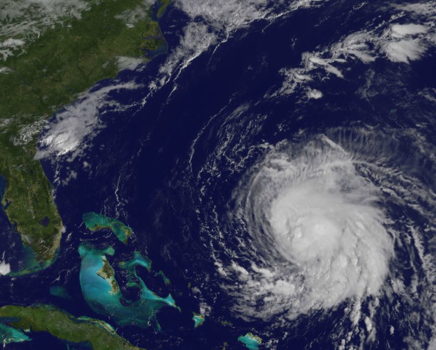
It’s actuallyvery, very hardto get the perfect nor’easter — the one that buries us under a foot or more of crystal crunchiness and slaps us silly with its biting winds. Like baking a soufflé, or making the Hollandaise sauce for your eggs benedict, it’s an elegant, very sensitive process that can easily go off kilter if one ingredient, one element of timing, track, or speed, isn’t right. As we watch the computer models spin up disturbances and hint at coastal development days in advance, we have to bridle our excitement and get real.One wrong piece of the puzzle could mean flurries, ice, rain, or nothing at all, instead of major snowfall. Rarely are any two coastal snowstorms exactly alike, but one common bond, we know well: sudden, rapid deepening of a low pressure center just off our shores, usually from Cape Hatteras, North Carolina, to Cape Cod, and movement toward the north or northeast. The sharp land/ocean contrast helps strengthen the fronts associated with storm, which, in turn, forcibly lift moist ocean air up and over the necessary cold, Arctic air inland. If the snow bomb is perfect, it moves over what we call the “benchmark,” or 70W latitude/40N latitude. Snowy nor’easters have a wide range of pedigrees: some form over the Gulf of Mexico, loaded with juice, and hug the coast. Sometimes, the storm starts out life as a weak, fast ripple that dives down from the nether reaches of northwest Canada, meeting up with a charge of upper air energy from the deep south.Either way, next time we miss the “Big One,” remember – it was probably low-percentage, anyway. The week ahead:
Michael Friedmann, a New York-area meteorologist, can currently be seen on metropolitan area cable news on weekends. Follow him on Twitter at twitter.com/WeatherTalk .
WeatherTalk: What causes ‘snow bombs’ that bury us in snow?
Getty Images