If you remember December 2015, it was one unusually warm December, as record warmth was the big story in the Northeast.
By looking at all the atmospheric signals, this December is going to be dramatically colder.
Chances of snowfall will be increasing with a better than average shot of having snow on the ground for Christmas, especially during the week of Dec.20. So shoppers keep that in mind, especially you, Santa. That week could feature brutally cold readings as long range models indicate the polar vortex will take a dip southward into the Northeast, so thefrigid air will be in place. However, the lingering question is whether we will have any storm development to go along with the polar flow. As of today, it’s too early to call, but it could get interesting. This week is starting off with a little snow, some light accumulations across the Poconos, northwest New Jersey, and parts of the Boston region, especially in the hills north and west of Boston.
The weak system responsible for this morning’s light rain and wet snow will be moving quickly and conditions will be improving this afternoon.
A more significant storm will take shape Tuesday night and into Wednesday morning with moderate rain falling across New York and Philadelphia, and lighter rains across southern New England.
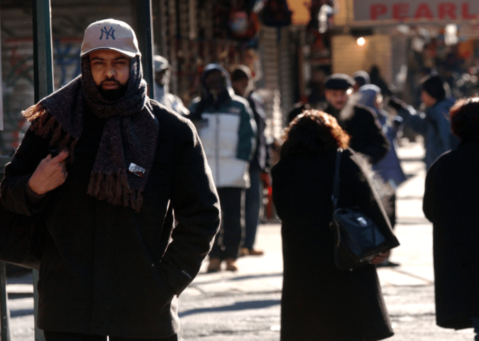
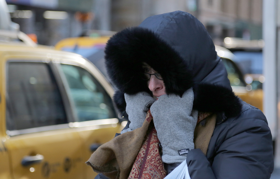
Polar plunge expected late Thursday through Saturday
A strong polar front will start to arrive Thursday afternoon, accompanied by the possibility of some light snow, flurries or snow showers. The mercury will plunge Thursday night as northwest winds start to howl. Friday will be the coldest day since last February as readings will remain in the 30s along with wind chills in the bone-chilling teens and single digits come Friday morning.
We can’t rule out snow showers or flurries as lake-effect streamers (fingers of snow) that streak southeastward from the snow belt of western New York state and western Pennsylvania, where 1-2 feet of snow should fall across portions of western New York and northwest Pennsylvania. The polar air mass will remain locked in on Saturday, before starting to moderate for the second half of your weekend.
New York
Today: Morning light rain, then clearing, 46.
Tuesday: Rain by 5 p.m., 45.
Wednesday: Morning rain, 46.
Thursday: Shower, evening snow, falling temps, 46.
Friday: Polar blast, flurries, 36.
Saturday: Windy and cold, 37.
Sunday: Dry and chilly, 42.
Boston
Today: Wet snow to light rain, 38.
Tuesday: Mostly sunny and chilly, 42.
Wednesday: Light rain likely, especially Capes, 43.
Thursday: Rain shower, late snow shower, 43.
Friday: Frigid wind, 35.
Saturday: Windy, cold, 34.
Sunday: Dry and chilly, 38.
Philadelphia
Today: Light rain, wet flakes in northwest, 49.
Tuesday: Rain arrives after 3 p.m., 45.
Wednesday: Morning rain, late clearing, 50.
Thursday: Snow shower, falling temps, 46.
Friday: Polar blast, flurries, 36.
Saturday: Windy and cold, 38.
Sunday: Dry chilly, 41.
Bolaris’ Weather Watch: Polar plunge ahead!
Getty Images