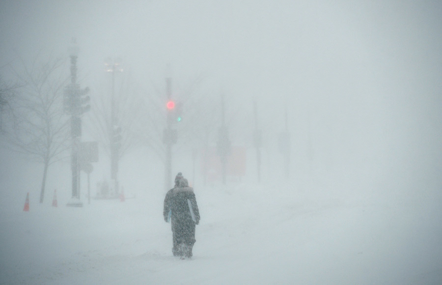
You’ve no doubt heard the harrowing predictions that have been disseminated in recent hours and days: “12 to 18 inches,” “a foot-and-a-half plus,” “two feet plus.”
These snowfall totals are, indeed, epic, if not historic! But if one ingredient deviates enough from the forecast, those totals may require some serious 11th-hour adjustment.
So how do we come up with these golden numbers, the ones we see on TV in bold lettering on all those fantastically-colored rainbow bands?
I’d say, start “big picture,” then use the microscope.
Big picture is space and time: storm track and speed. Once we resolve the snow zone when-and-where, we get to the fine stuff!
We think about the very birth of the snowflakes, hatched through a process theorized by the Swedish meteorologist Tor Bergeron (1891-1977). Flakes pop like crazy between about -2° to 10°F if the humidity is just right to allow a mixture of ice crystals and “supercooled,” subfreezing, liquid droplets. Not enough: through this layer must pass a strong updraft of moist, rapidly freezing air to keep the cold layer juiced. And how do we find such dynamic lift? Frontogenesis! The strengthening boundary, the spiraling war zone between dueling warm and cold air masses ‘way up in the cold! We must also ground-level temperature, to determine the “fluff factor”: fluffier dry flakes vs. denser, wetter ones. With these ducks in a row, and a look at the amount of moisture available to precipitate, we consult the computer models, analyze ‘til we’re dizzy, and produce those exciting—or demoralizing—numbers! Michael Friedmann, a New York-area meteorologist, can currently be seen on metropolitan area cable news on weekends. Follow him on Twitter at twitter.com/WeatherTalk.
WeatherTalk: How do meteorologists estimate the amount of snowfall?
Getty Images