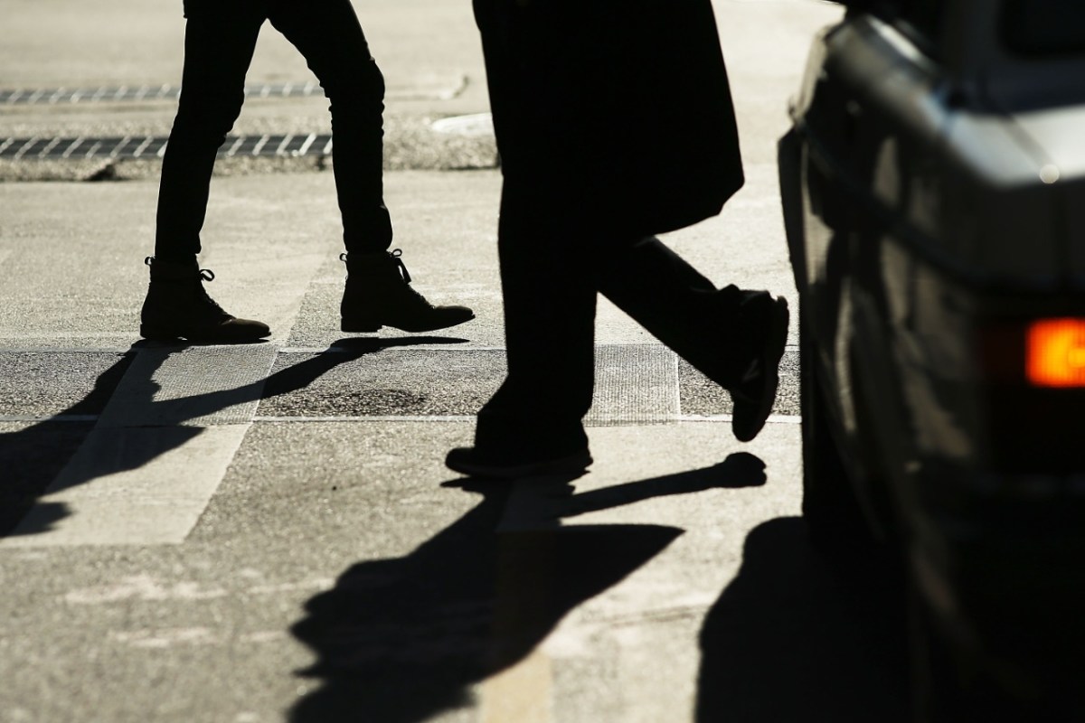
Officials have been working to make New York City streets safer through the Vision Zero initiative, but we’re not quite totally free of traffic accidents just yet.
There are some areas that pedestrians and cyclists should be extra cautious around, according to Localize.city.
The data website identified the 12 most dangerous areas in New York City for traffic accidents in a new report out this week.
“This study looks at dangerous intersections from the perspective of residential buildings, pinpointing the buildings that are surrounded by intersections with the most crashes that injured or killed pedestrians and cyclists,” said Localize.city data scientist Israel Schwartz in an email. “The immediate area of these buildings were found to be the most dangerous based on the crash rates for each intersection.”
This doesn’t mean there’s one specific intersection with the most traffic accidents, but instead Localize.city identified “hot spots” or clusters that pose a greater risk to pedestrians and cyclists.
In these areas, pedestrians and cyclists are at a risk three times greater than elsewhere in New York City of being injured or killed in traffic accidents, per Localize.city.
Traffic accidents in NYC: Localize.city most dangerous areas for pedestrians and cyclists

Brooklyn:
Williamsburg : general boundaries between Lee Avenue and North Seventh/Metropolitan Avenue, from Berry Street to Bushwick Avenue
Downtown Brooklyn: general boundaries between Atlantic Avenue and Willoughby Street, from Boerum Place and Bond Street
Crown Heights/Bed-Stuy: general boundaries between Pacific and Fulton streets, from Bedford to Brooklyn avenues
Bronx:
Fordham/University Heights: general boundaries between Aqueduct Avenue and Ryer Avenue, from West Fordham Road and West Tremont Avenue
Manhattan
Lower East Side/Little Italy/Soho: concentrated around Delancey/Kenmare Street. General boundaries between Spring and Grand streets, from Broadway to Forsyth Street
Queens:
Corona: general boundaries between 35th and Roosevelt Avenues, from 94th to 108th streets
Jackson Heights: general boundaries between 37th Avenue and Broadway, from 76th Street to 84th Street/Whitney Avenue
Flushing: general boundaries between College Point Avenue and Parsons Boulevard, from 37th to Franklin avenues
Ridgewood: general boundaries between Woodward and Myrtle avenues, from Grove Street to Forest Avenue
Jamaica: general boundaries between 89th to 90th avenues, from 164th Street to 168th Place
Staten Island
St. George/Tompkinsville: general boundaries from Jersey to Bay streets, between Victory Boulevard to Fort Place/Taft Avenue
Stapleton: general boundaries between Bay and Van Duzer streets, from Wright to Tompkins streets
Traffic accident fatalities have been dropping across New York City. The first half of 2018 was a record-low period for fatalities, according to the mayor’s office, and 2017 overall was the city’s safest year on record.
Since officials adopted Vision Zero in New York City in 2014, traffic fatalities have dropped 28 percent and pedestrian fatalities by 45 percent.
Localize.city praised the city’s work, and its data scientists hope their report can supplement that Vision Zero progress.
“We know how to prevent death and serious injury on our streets, and with this study, we also have a better understanding of where the city should target investments in safer street redesigns,” said Paul Steely White, executive director of Transportation Alternatives, in a statement. “Traffic deaths are falling in New York thanks to the city’s data-driven approach to street safety. Thanks to this critical research, we can further reduce the threat to pedestrians and bicyclists at the intersections where help is needed most.”
A New York City Department of Transportation spokesperson said that the department will review this Localize.City report. In the meantime, officials pointed to the city’s Vision Zero Borough Pedestrian Safety Action Plans for more information on how Vision Zero is addressing traffic accidents across the five boroughs.