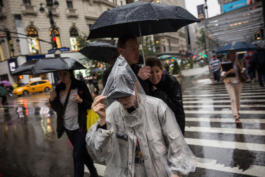
Although it’s been clear skies the past few days, the pleasant weather is come to an abrupt halt starting Tuesday.
The National Weather Service (NWS) reports that Tuesday through Sunday severe thunderstorm development is possible, with the primary threats being damaging winds and large hail. There is also a flash flood threat for the area, with torrential rainfall likely in any storms that develop.
Patch.com reported that the showers will be heaviest after 2 p.m. Tuesday, continuing into the evening.
The NWS New York NY Twitter account shared that, “Enjoy the pleasant weather for today, because it will turn unsettled with rain (and potentially lots of it) for Tuesday afternoon into Tuesday night. Here are the forecast rainfall totals, but keep in mind that locally higher amounts are possible.”
Enjoy the pleasant weather for today, because it will turn unsettled with rain (and potentially lots of it) for Tuesday afternoon into Tuesday night. Here are the forecast rainfall totals, but keep in mind that locally higher amounts are possible. pic.twitter.com/e3q3serSlL
— NWS New York NY (@NWSNewYorkNY) August 12, 2019
This storm could cause hail. Large pieces of hail can also sometimes be an indicator of a tornado, according to the NWS, but that is not always the case. “The presence of large hail indicates very strong updrafts and downdrafts within the thunderstorm,” The NWS reported. “These are also possible indicators of tornadic activity. Often large hail is observed immediately north of a tornado track – but the presence of hail doesn’t always mean a tornado and the absence of hail doesn’t always mean there isn’t a risk of tornadoes.”
To protect yourself and others from hail, ABC shared that covering your vehicle in a blanket or tarp can help protect it, and they also suggest seeking shelter if caught in a hail storm, making sure insurance covers damages, and getting impact-resistant roofing shingles.


