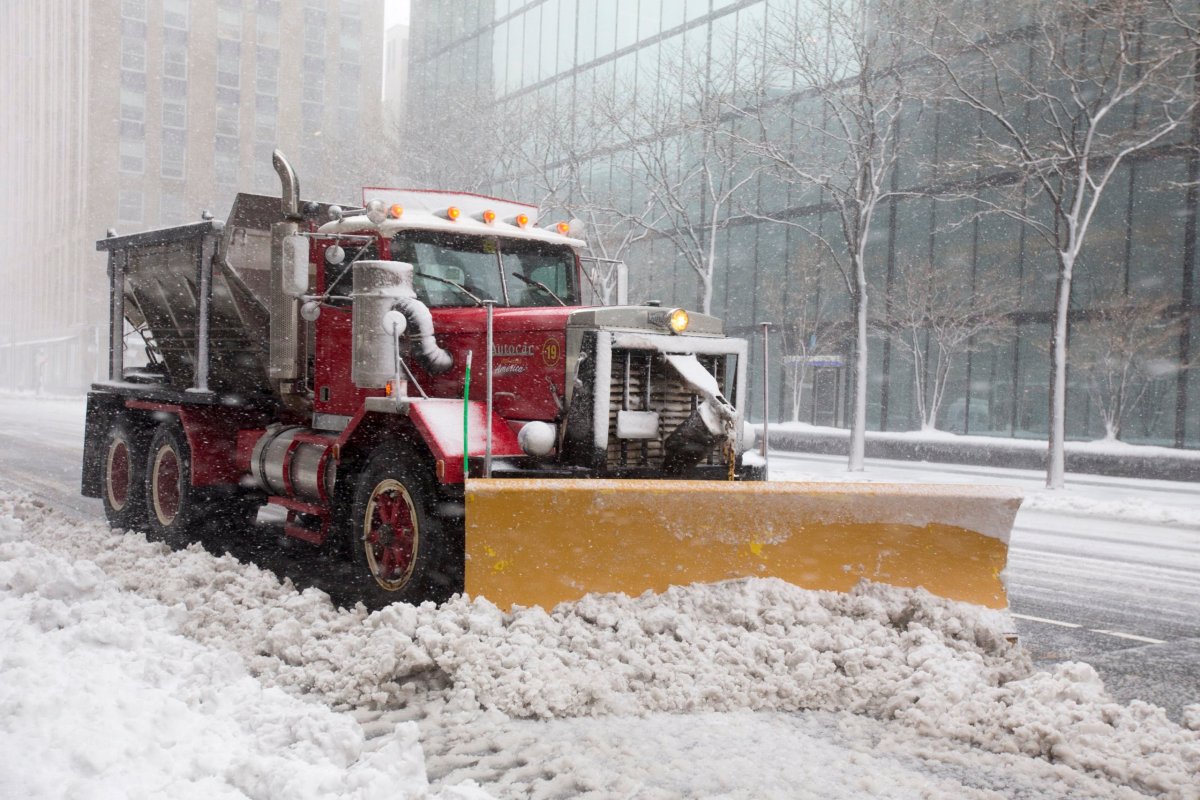
“Winter is coming” is more than a quip from HBO’s series “Game of Thrones” as the National Weather Service reports winter weather to hit the region starting Tuesday morning.
A storm system moving in from Upper Midwest will track eastward and expected to reach the East Coast in the evening hours.
Wintry precipitation starting with rain, then quickly shifting to snow, is expected to spread from the Upper Great Lakes into the Northeast region on Tuesday, continuing into Wednesday night.
While actual accumulation is not expected to exceed one or two inches of snow before turning to rain, morning commuters should be prepared for slick roads. Commuters should exercise both caution and patience during the scattered storms, as the first bad weather pattern to hit the area tends to be unnerving for drivers who have thus far been spared the wrath of the season.
Southern New England will be spared the brunt of Tuesday’s dual storm systems, but the Berkshires and other parts of Northern New England as far south as Southern New Hampshire will experience heavier snowfall, totalling between 6 and 12 inches.
Light freezing rain or sleet is also possible along the interior portions of the Northeast.
The South Coast is expected to see scattered rain showers. Later in the week, NOAA is predicting cold and dry conditions from Thursday to Saturday followed by a chance of a new snow storm system forming off of the Eastern Seaboard.
Thursday may have some of the coldest temperatures of the year, potentially reaching single digits.
While conditions are not yet clear, NOAA is warning of a the chance of another eastbound storm system that may hit the area on Sunday just in time for Patriots playoff football.


