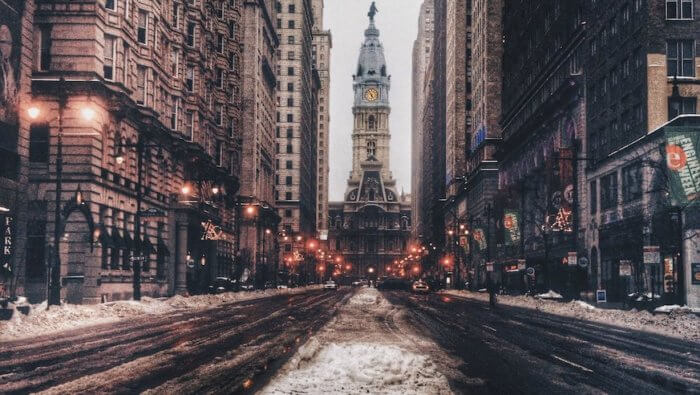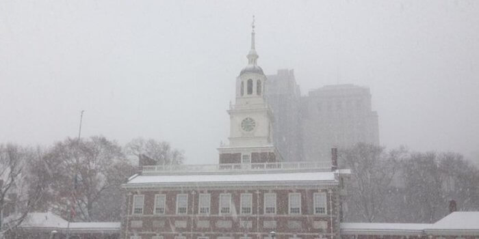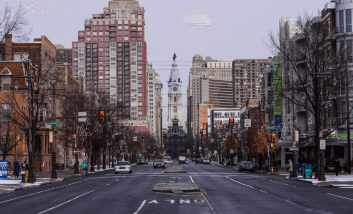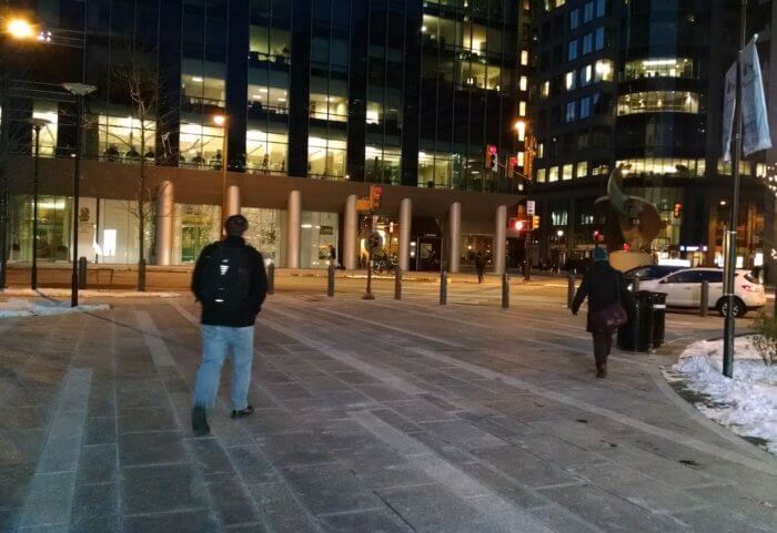

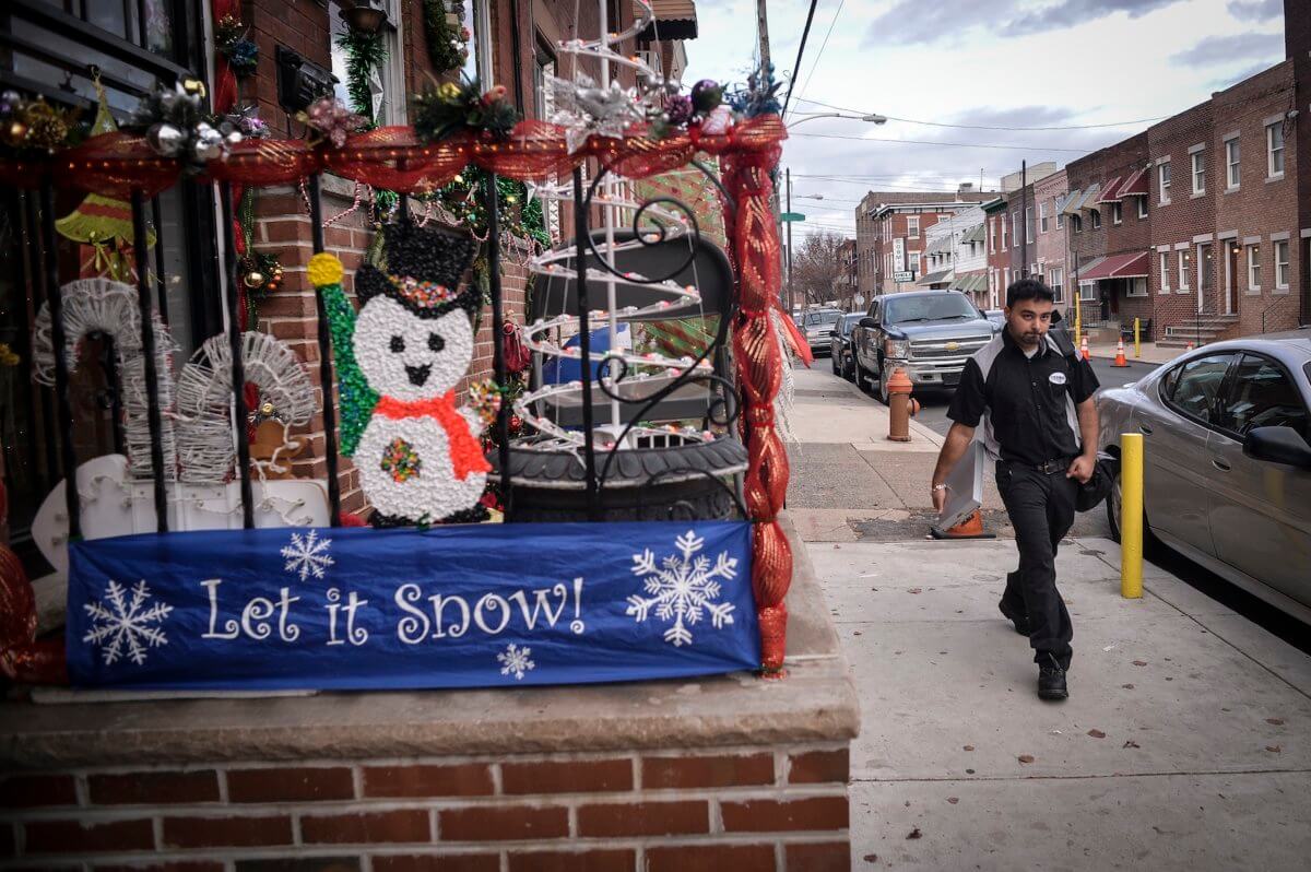
Warm weather across the east coast have many speculating if the doomsday scenario promised by global warming activists is coming true.
While the warm Pacific weather pattern known as El Nino is currently active, which could be causing the unusual temperatures, meteorologists and scientists are not entirely sure if El Nino is the only factor —or if climate change has made El Nino a stronger force than ever this year. “There is some emerging evidence now that climate change is leading to stronger El Ninos, so the fact that we are witnessing not just an El Nino event but an El Nino event of record strength could indeed be a consequence of human-caused climate change,” said professor Michael Mann, director of Penn State’s Earth System Science Center and author of climate science’s famed “Hockey Stick Graph.” Related link:‘No snowfall in forseeable future’ coming to Philly “The heat records we are seeing across the northern half of the country are likelyfavored in part to the unusual jet stream pattern associated with El Nino, and in part to the overall warmer warming baseline of winter temperatures due to global warming,” Mann said. But not everyone agrees.
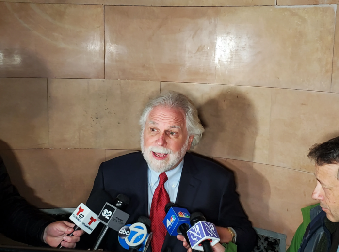
John Bolaris, a meteorologist based in the Philadelphia area, said climate change isn’t responsible for the current warm phase.
Related link:Philly immigrant who finds time to help the less fortunate “It doesn’t have anything to do with climate change, because it just doesn’t happen that way. You don’t have winter last year near record lows, and then the next year, have near-record warms and say it’s climate change,” Bolaris said. “The warm day over the weekend doesn’t mean there was climate change — it means we have had a big, strong effect from El Nino.” Prof. Benjamin Horton, a professor at Rutgers University, said El Nino might not be the cause, but that “waviness” in the jetstream could be responsible for climate shifts like from a cold snowy winter in 2014 to a warm on in 2015. “It’s been the case for the past few years that the jetstream has a very wavy pattern. It’s normally very straight,” Horton said.
These jetstream changes pushed colder air south in 2014, and in 2015 they seem to be forcing warm air up the east coast, Horton said.
“What the driver is for the wavy nature of the jetstream is unknown and debatable.Some people would say its a normal variability; other people would say that its related to changes in Arctic sea ice,” Horton said. “The answer is unknown.”
A warm December: Is it El Nino, or climate change?
Charles Mostoller