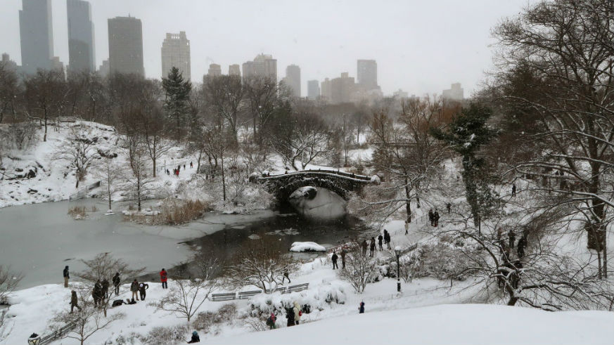
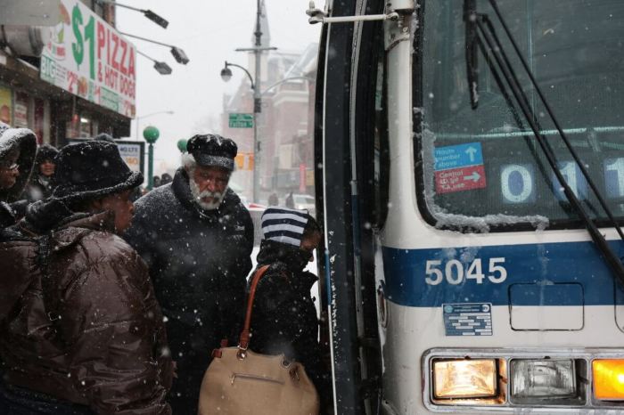
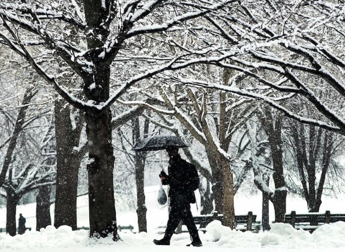
Many are calling it “bomb cyclone,” “snow bomb” or “bombogenesis,” but if you set foot outside, you’ll know it as the big brother of the bitter cold we started to feel this holiday season. The Weather Channel reported that the frigid weather is to blame for at least a dozen deaths across the U.S. as of Wednesday, and now, we’re getting stronger winds and heavy precipitation.
Click the link for the latest on the ongoing winter storm, and the brutal cold to follow for Friday and Saturday.https://t.co/nPHsxyPVOw
The image shows the latest Winter Advisories and Warnings that are currently in effect. pic.twitter.com/1F4eHhsT4k
— NWS New York NY (@NWSNewYorkNY) January 4, 2018
The storm, which is expected to start Wednesday night and last until Thursday evening/early Friday, will bring 6 to 12 inches of snow to New England.
Metro spoke to Meteorologist John Cristantello from National Weather Service (NWS) New York, New York, to get to the bottom of what exactly we should expect from this “bomb” of a storm.
According to Cristantello, in simple terms, “bombogenesis” is an unofficial label given to storms that are rapidly strengthening. What we face Thursday will mainly be a “snow event” that will continue throughout the day and slow by early evening. New York residents should expected 3 to 6 inches across the city, and there’s no prediction of mixed precipitation.
As of Thursday morning, the snow count increased to 5 to 10 inches with a snowfall rate of 1 inch per hour.
Cristantello predicted 35 to 45 mph wind gusts with temperatures in the upper 20s (nothing compared to that record-low New Year’s Eve ball drop).
However, Cristantello said that temperatures will drop to around 10 degrees by Thursday night and early Friday morning. He noted that there will be variations throughout the city, and with the wind chill, it will feel like 10 below zero.
A meteorologist from the NWS in Mount Holly, New Jersey, which covers forecasts in the Philadelphia area, told Metro that the storm — both temperatures and wind speeds — should hit Philly similar to NYC. Philly, however, is only expected to receive up to 4 inches of snow also tapering off by late Thursday.
In comparison, Boston is expecting to get hit harder with snow up to 16 inches and winds as high as 50 mphs by Thursday night, according to the NWS site.
To ward off against potential frostbite, Cristantello urged people to “try to dress in layers and cover all exposed skin.”
Though weather is expected to be dry by Friday, we should brace for residual cold into the weekend. In NYC, high temps on Friday only average around 15 degrees and on Saturday, only average between 10 and 15, according to Cristantello.
He stressed that our main concern should be slippery roads that “will impact travel,” adding that if you don’t need to be on them, stay indoors.
“We’ve seen snow like this before,” Cristantello concluded. “But all it takes is a little coating of it to create hazardous travel conditions.”
For the latest updates on “bomb cyclone” winds, temperatures and snowfall, go to the twitter feeds for NWS NYC, NWS Mount Holly (Philly coverage) and NWS Boston.

