What if you want to take your self-driving car for a spin down a rural road that doesn’t appear on any map?
Despite how far the technology has come, that’s an unlikely scenario — until now, thanks to researchers at MIT’s Computer Science and Artificial Intelligence Laboratory (CSAIL).
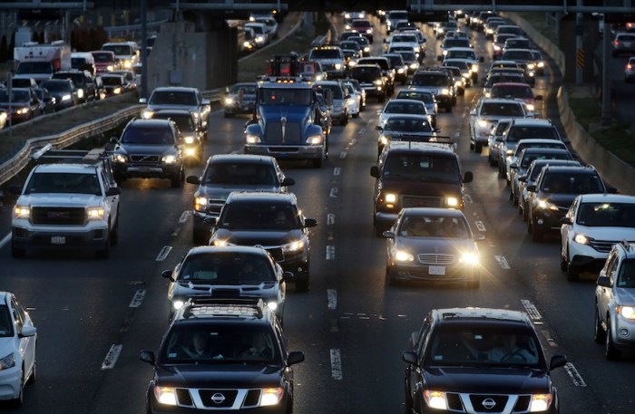
Autonomous vehicles are currently restricted in where they can roam, and that’s because companies that test these cars, like Google, only do so in major cities in which they’ve mapped out all those roads, ramps and traffic signs that the car has to account for.
Those 3D maps take a lot of time and money to develop, experts say, and usually include the easiest options, like well-lit streets and clearly marked highways.
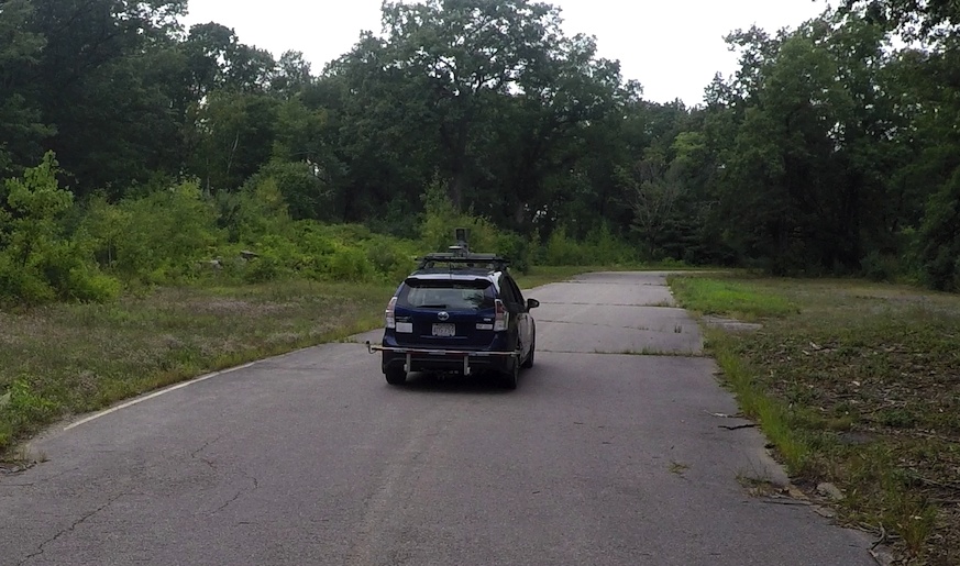
But CSAIL researchers have a solution for those who think the countryside deserves self-driving cars, too. Called MapLite, the system allows self-driving cars to navigate roads they’ve never been on before and for which there aren’t any 3D maps available.
MapLite uses “simple” GPS data, like what powers your Google Maps, with sensors that scan and observe road conditions. The GPS lets the system know the car’s basic location, and the sensors keep an eye around the car to watch out for obstacles like road edges within 100 feet.
With these two skills working together, the CSAIL autonomously drove on multiple unpaved roads in Devens, Massachusetts.
“The reason this kind of ‘mapless’ approach hasn’t really been done before is because it is generally much harder to reach the same accuracy and reliability as with detailed maps,” CSAIL graduate student Teddy Ort said in a statement. “A system like this that can navigate just with onboard sensors shows the potential of self-driving cars being able to actually handle roads beyond the small number that tech companies have mapped.”
Ort was a lead author on a related paper about the system, which will be presented later in May at the International Conference on Robotics and Automation in Brisbane, Australia. This project was supported in part by the Toyota Research Initiative.
Though this system marks progress, it still has its limitations. MapLite isn’t yet reliable enough, MIT said, for mountain roads, since it can’t account for dramatic changes in elevation.
Researchers hope to expand the kinds of roads this system can handle, and make MapLite just as reliable as — and even more widespread than — those systems that rely on roads to already be mapped.
“I imagine that the self-driving cars of the future will always make some use of 3D maps in urban areas,” Ort said. “But when called upon to take a trip off the beaten path, these vehicles will need to be as good as humans at driving on unfamiliar roads they have never seen before. We hope our work is a step in that direction.”