Hurricane Joaquin has been upgraded to a category 4 storm and is considered to be extremely dangerous.
According to the National Hurricane Center, the threatening storm is expected to increase its force after passing through the Bahamas in the next 24 hours.
UPDATE: Hurricane Joaquin now ‘extremely dangerous,’ upgraded to category 4
As New Yorkers prepare for Joaquin, FEMA and NYC.gov want to remind the city to be aware of your evacuation zones if the storm becomes too powerful.
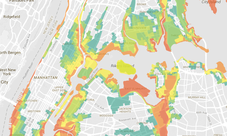
The data crunchers over at WYNC Data News created a map that lets you easily find your evacuation zone.
There are six evacuation zones that are ranked by the risk of the storm’s impact. Residents in zone one are more likely to be affected by flooding. Due to the unpredictable nature of severe storms, residents in any of these zones may be called to evacuate.
Check out the map below to find what zone you belong to.
For more information:
http://www1.nyc.gov/assets/em/html/know-your-zone/knowyourzone.html
http://www.region2coastal.com/