Have you been experiencing cold and flu-like symptoms recently? Does it seem like the entire subway car is filled with germy people who seem to be sneezing and coughing on you? Is your entire office sniffling and sneezing?
All of New York City is sick and there is a map to prove it
In case you’re wondering, the flu is taking over the city and if you’re one of the “lucky ones,” it has made its way to you. Bummer.
If you’re into tracking patterns and data then you will be interested to know there is a map that scans social media sites for certain keywords to determine which areas in the city have the highest concentration of sick people.
Sickweather.com gathers data from all social media websites when people tweet or post anything related to being sick. They take all the data and build a live map that helps determine which areas of the city is posting about being sick.
The site isn’t 100% accurate because it really depends on who is sharing their ailments with their personal network but it will give you insight to what areas have the most complaints.
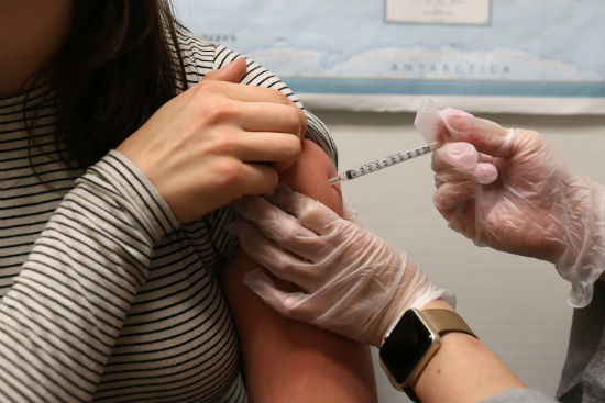
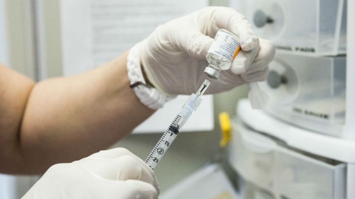
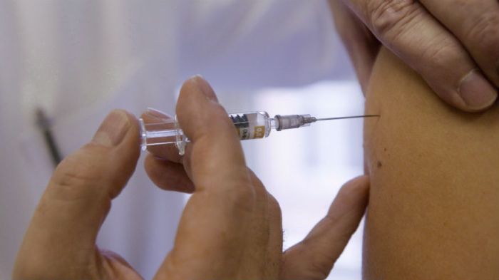
Sickweather.com also conveniently includes different Walgreens locations so you’ll know where to get your flu shot or stock up on cold medication.
Check out the map for yourself and see who’s sick and where. Please note: some of the posts on the map could be from days ago, but don’t fret. It still gives you a good idea of what areas you probably should avoid.