What’s the first step to helping a city recover after a natural disaster?
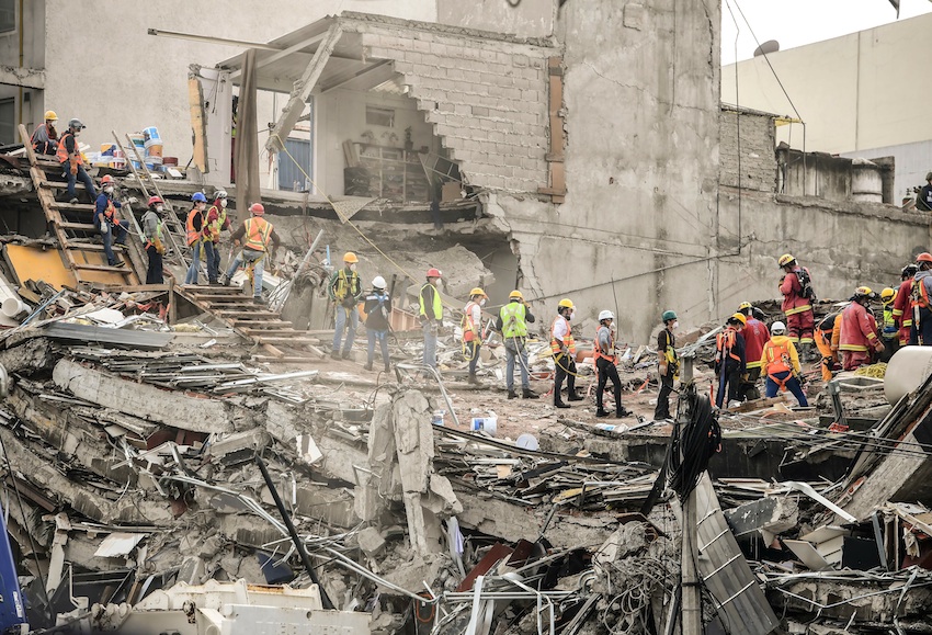
Often, crews clear roads of debris, so emergency personnel can get through to the people who need help. But what roads to clear depends on a lot of factors, like the layout of the city, what kind of disaster hit, where the hospitals are and what areas of the city are most affected.
The best first move shouldn’t be the same in every situation, according to Ozlem Ergun, a professor of mechanical and industrial engineering at Northeastern University — even though currently, emergency management agencies follow strict guidelines when it comes to recovery efforts.
Ergun has come up with a new way to help cities bounce back after disasters.
In a report recently published in the journal PLOS ONE, she details a new mathematical tool that prioritizes relief efforts based on the individual reality of the situation, from what roads are blocked most to what kind of debris is scattered across a city after an earthquake, hurricane or other kind of disaster.
“Of course you have to plan for big events, but then once something happens, the situation on the ground is going to be very particular,” she said. “You should have a pre-plan, but you should also have these decision tools that can aid you when faced with complexities of a situation.”
Currently, emergency guidelines say that rubble should be cleared from roads based on a ranking system. Primary roads like highways are cleared first, and secondary back roads aren’t a focus.
“But it’s not really not looking at what happens, where is the demand, where is the most debris, where are the health centers,” Ergun said. “It might end up making more sense not to open up a primary artery if it has a lot of debris and secondary roads don’t have as much.”
The reality of a disaster can lead to surprises. In her research, Ergun compared disaster simulations of Boston and New York City. When debris falls over each city in a “uniform” way, New York City’s grid is more resilient than Boston’s tangle of roads.
But disasters aren’t that neat.
“When we simulated an actual event happening, which means … debris that’s left on the ground is not uniformly distributed over all roads — somewhere you have more, somewhere you have less…. It turned out the resiliency of Boston and New York was not so different,” Ergun said.
Though many experts believe a grid network means a city will fare better, Ergun’s work shows that’s not an absolute truth. The steps for what to do in the wake of a disaster shouldn’t be so concrete, either.
With her tool, a computer tool would take into account the data from the big picture of a disaster and offer a plan that shows emergency responders what to do first.
“It really ends up being a complex system,” she said. “Just going by the high-level guidelines, by the rule of thumb, can not be as effective.”