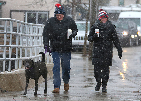
The last days of January are expected to bring a snow and rain mix midweek to Boston, immediately followed by the brutal cold that makes February in New England so memorable.
The National Weather Service is predicting a drop in temperatures on Monday, followed by a storm front expected to hit the Boston area late Tuesday evening into Wednesday.
Southern New England won’t have much accumulation, but the northern states may see enough snow to shovel.
Vermont, New Hampshire and Maine will see anywhere between 1 and 3 inches of snow, but further south will see the nasty mix of rain, sleet and snow.
The snow and rain mix is expected to start around 5 p.m. on Tuesday, just in time for the evening rush hour commute home. Experts expect that snow and rain will trade off between 10 p.m. and midnight, before turning to rain until the morning hours.
Snow will likely greet the morning rush-hour commuters on Wednesday, but luckily Weather.gov is predicting that the storm will wear itself out by the afternoon without much accumulation, which is the good news.
The bad news is that there is a brutal cold front headed our way in the wake of the storm, and temperatures are expected to hit single digits and mid-teens for a few days.
Wednesday night is expected to reach a low of 7 degrees. Temperatures on Thursday are expected to leap up to a high near 16 degrees on a bright, sunny day before dropping to a low of about 9. Friday will be sunny with a high of 24 degrees, and a low of 13. Saturday is expected to be sunny with a high of 52 degrees, making for a remarkably bizarre way to kick off the shortest month of the year.

