The winter to date in the Northeast has been one of the mildest on record, thanks to the Godzilla El Niño thathas been acting like a blowtorch and blowing moist Pacific air this way at the same time, pretty much keeping arctic intrusions north of the border. However, if you watched Sunday’s Seahawks-Vikings playoff game, you might have noticed the frozen tundra with the mercury hanging around zero.
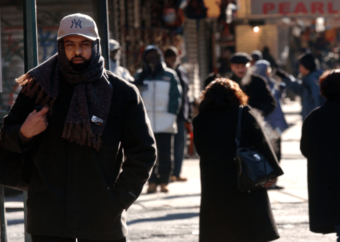
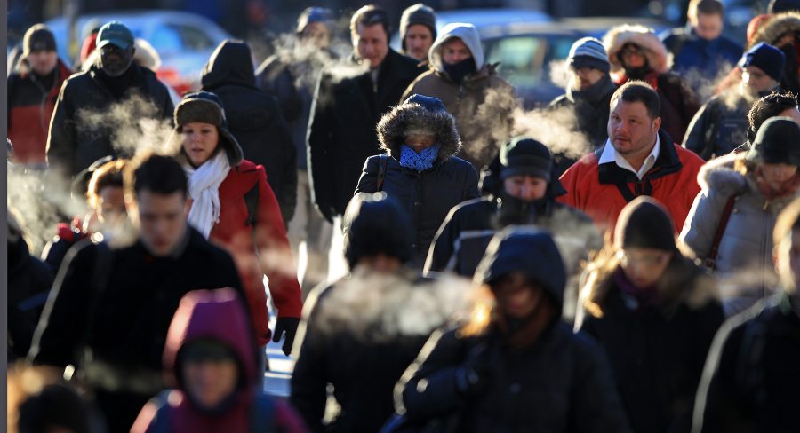
Achunk of that arctic blast will be felt all across the Northeast on Wednesday, although it will not be as bitter, it will still feel brutally cold, as our bodies are far from acclimated to the cold this season— and, as former Pennsylvania Gov.Ed Rendell posited, “We have been ‘wussified.'” His comments were made when the NFL decided to cancel the Vikings-Eagles game in 2010 due to a pending snowstorm and move it from Sunday to Tuesday night, saying, “We have become a nation of wusses.” RELATED:Bolaris’s Weather Watch: Winter’s January comeback He went on to write his book, “The Wussification of America.” Ya gotta love Ed, a charismatic, shoot-from-the-hip politician and a lovable man in person.
Anyway, after yesterday’s warmth and soaking rains, with Boston picking up the brunt of the South’easter with strong winds and localized flooding, the first influx of cold air is being felt Monday as readings—after reaching record highs in some cases— comecrashing down today. All three major cities —NYC, Philly and Boston —will see the mercury in the 30s Monday along with strong gusty winds. A few flurries can’t be ruled out. The coldest part of the week will arrive on Wednesday as a clipper, attached to a polar front, will rip through late Tuesday night into early Wednesday morning. Arctic winds will howl on Wednesday as readings remain locked below freezing (mainly in the 20s) with wind chills in the single digits.
Out ahead of the clipper on Tuesday, we could see a few rain showers change over to scattered snow showers or flurries by Tuesday night. The best chance of seeing any light accumulation would be in the Berkshires and the Catskills. Attention skiers: After Sunday’s slop, this week is setting up to be the best snow-making week of this winter as the snow machines will be blowing out powder all week long and into this weekend as well. My weekly potential storm time periods to watch January 17-18: Models continue to suggest some sort of storm development. Models have been developinga storm system in the Mississippi area at the same time a secondary one is forming off the southeast coast.Models develop a significant storm off the Carolinas.This needs to be watched as models have been erratic in placement but consistent in storm development. January 20-23: Models are suggesting strongly of coastal storm development. Two separate coastal storms, which in actuality could really be one storm as computer models are waffling. This far out, we would lean for a higher threat (but still low this far out) in the Boston-Cape Cod region. Boston Outlook (this is what you really care about right now): Philadelphia Outlook:Your snowless winter continues. We have never been this far into the winter season without ONE single flake. Snow lovers, keep in mind the winter of 1966 didn’t see its first measurable snow until January 22, then wound up with another 2 feet of snow for the remainder of the season. The polar vortex is doing a wobble this week, allowing for the first shot of cold air to arrive today, but the coldest core of arctic air will arrive on Wednesday as winds howl, along with temps holding mainly in the 20s. The clipper responsible for the arctic shot could give us our first taste of snow flurries or snow showers come Tuesday night and or flurries for Wednesday. New York City Outlook:It’s really strange when weather alerts for the tristate region have been in the form of severe thunderstorm warnings (New London, Connecticut, had one issued at 11 a.m. on Sunday) Temperatures were flirting with record highs, falling just one degree shy of the record of 60 degrees — set back in 1876. Expect a dramatic change this week as our first polar blast has arrived for your Monday, as polar wind has replaced warm, soggy conditions. Wind chills will hover around 19 degrees today. A colder air mass will arrive on Wednesday on the heels of a clipper which could produce a few snow showers and or flurries Tuesday night into Wednesday. Daytime highs on Wednesday will remain in the 20s along with wind chills in the single digits and teens. But the big story is whether former Giants coach Tom Coughlin winds up coaching down the pike with the Philadelphia Eagles. This would make New Yorkers even a bit more red-faced today. Good luck, Coach.
(These are potential outlooks based on medium- to long-range computer models):
Chiefs vs. Patriots Forecast
4:35 p.m. at Foxboro
Temperature at Kickoff: 37
Sky: Dry
Wind: Nonfactor
Bolaris’s Weather Watch: A winter smackdown
Getty Images