If you have been following my timeframes to watch for potential significant winter weather, this week was the one to watch.
So far it has come to fruition as you head off to work this morning, your teeth chattering and either just brushing off some snow and in some cases actually using the shovel — I’m talking to you, Boston, especially along the Capes. RELATED:And now a hurricane in this wacky winter Philadelphia got to see its first accumulation of snow across sections of southern New Jersey and Delaware.
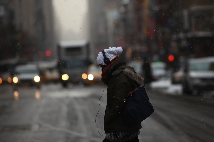
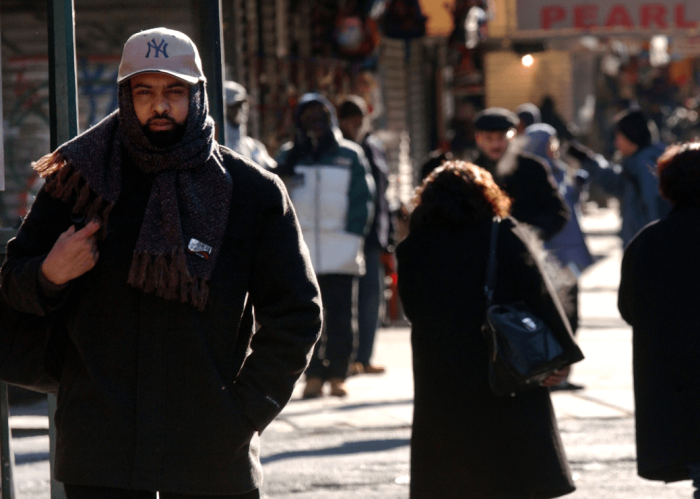
Across the east end, Long Island got some blowback of light snow as a rather intense ocean storm has passed well off the Northeast coast with it’s main impact being felt across the Capes of New England. Today from Philadelphia to NYC to Boston, a truly frigid air mass is taking hold, with frigid winds, snow flurries and snow showers. The wind speeds will increase today and be downright fierce through Tuesday as wind gusts exceed 40 mph. This combined with readings falling into the teens tonight will send wind chill factors crashing down to below zero by Tuesday morning. Tuesday’s maximum high temperatures will remain generally in the mid-20s, making it the coldest day of the year to date. This entire week will remain on the cold side, making it our first real stretch of real winter weather. My long-range winter forecast, out in early November, targeted this week to be the start of winter. Hey, you know we have to gloat once in awhile when we get it right. One of my other long-range targets was right around Jan. 22 for a potential Nor’easter, as of right now it’s still in play.
Computer models pretty much all agree that a coastal storm will be somewhere near the Carolina coastline by early Friday morning, then intensify and move generally northeast with cold air in place. However, the exact placement, track and intensity is still very much uncertain. The European model is taking it more off the coastline than other computer models, and the Euro has a pretty good track record, but even the Euro has been jumping around with its placement.
The global ensemble model has been showing a significantly more northward movement, which in turn would lead to quite a bit of snow for some, but I’m not going to play the “how many inches game” yet, as it’s still quite early. Time frame to watch: This Friday into Saturday with potential for coastal storm from the Carolinas to New England, which would fall mainly as snow, but as always, adjustments would be needed for rain/snow lines if the storm does eventually pose a threat for the Northeast. But this is the first legitimate shot this winter for a snowstorm. RELATED:A winter smackdown
Philadelphia: Well we finally had some snow this winter season as parts of southern New Jersey and Delaware actually had a light accumulation. The ocean storm that brushed the region is well out to sea now and in its wake is a frigid blast. Today your eyes will tear and your face will sting as winds howl as some flurries and snow showers fly, especially across the ‘burbs to the North and West. The Poconos should get to see some naturally accumulating snow today and tomorrow, as lake effect snow showers should make it into the Poconos. Snowmaking all week long. Tuesday will be the coldest day of the year to date, and wind chill factors on Tuesday morning will hover around zero. Potential snowstorm threat continues for Friday into early Saturday. Models have been jumping quite abruptly last few runs, so confidence factor runs quite low in the eventual development, intensity and track of this coastal. This I do know: by early Friday morning a coastal storm will be deepening somewhere along the Carolinas. Will it bring us our first snowstorm of the season? The answer my friend is still blowin’ in the wind. New York City: This will be your toughest week of winter to dat e(I know that’s really not saying much. However it’s teeth-chattering frigid today, winds are howling and we have flurries and snow showers blowing through. The best chance of the snow showers will be across your suburbs to the north and west, however we can’t rule out some actual ocean effect snow squalls across eastern sections of Long Island. Tuesday will be the coldest day of the winter so far as the mercury will remain the mid-20’s along with a howling wind, a face-stinger for sure. Wind chills on Tuesday morning will fall below zero. First threat of a coastal storm this winter for later Friday into Saturday — many variables in play, with significant to heavy snow to no snow at all. Still early in the weather ballgame to call, but still, in this storm-free winter it is something to keep your eye on. Boston: Damn, Brady is magic. Congrats! Any leftover snows from the ocean storm will give way to frigid winds along with flurries and snow showers, especially across the hills to the west. Your big weather stories this week will be the coldest day of the season to date, which will take place for Tuesday. Wind speeds will increase through Monday night and right into and through Tuesday, gusting in excess of 45 mph. Wind chill factors by Tuesday morning will dive below zero. Potential nor’easter threat for Friday night into Saturday.
Bolaris’s Weather Watch: Polar plunge, late week snowstorm?

Getty Images


