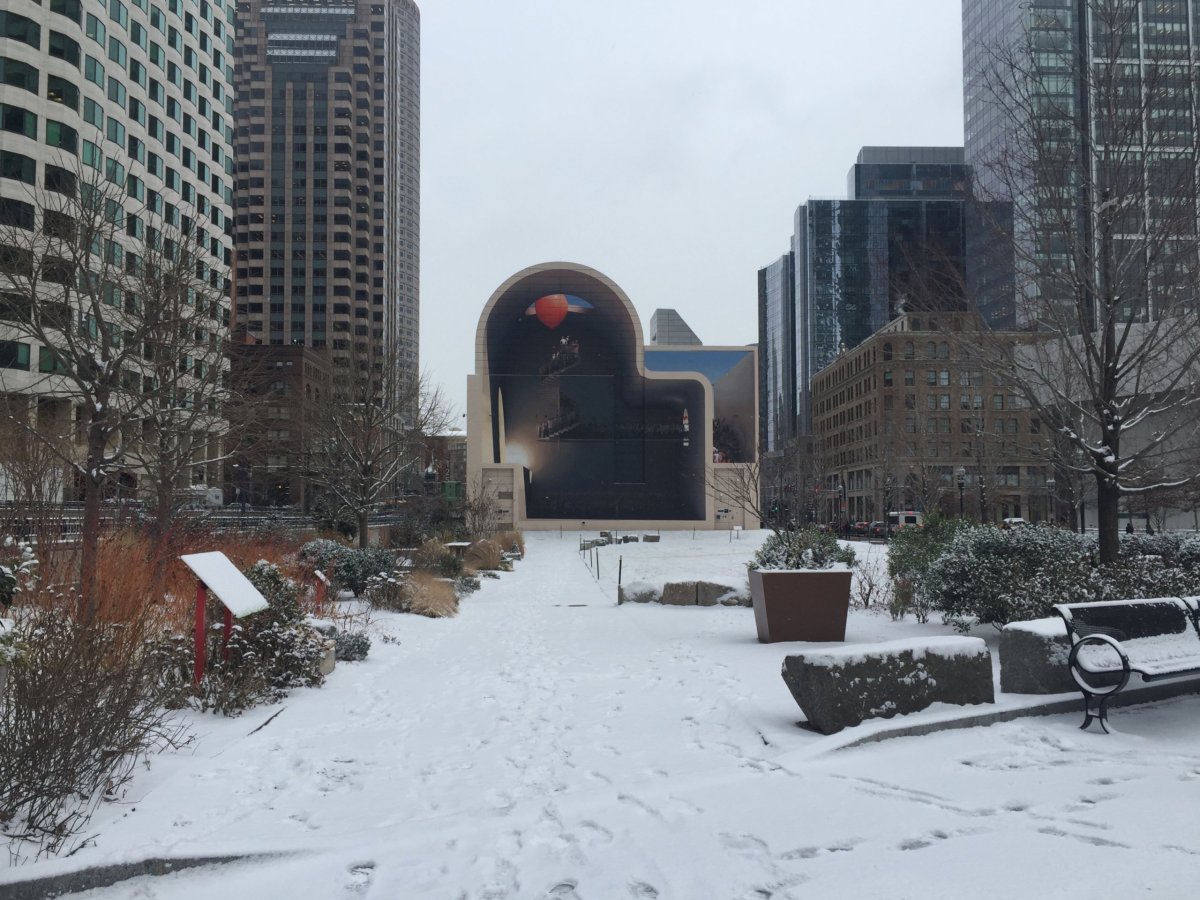
Only a dusting of snow fell on the streets in Boston Friday morning, though portions of the state saw significantly more flurries, meteorologists said.
Forecasters are also calling for heavier snowfall on Saturday, with a winter storm watch in effect for the day, and accumulations of up to 8 inches in some areas of Eastern Massachusetts.
Friday’s light snowfall in Boston was expected to taper off before midday. The day started off cold, with temperatures below 30 degrees. That’s only expected to rise slightly, with a high of 33 degrees expected for this afternoon. The Cape and Islands have seen more of the white stuff, with Sagamore reporting 4 inches on the ground before 9 a.m., according to the National Weather Service. Parts of Bristol County on the South Coast, including Fairhaven and New Bedford, hit at or right below 4 inches as well. Friday afternoon is set to be dry but cold, the weather service forecasts, and may be “an appetizer for the main course Saturday and Sunday.” Winter storm watches are in effect for Saturday into early Sunday morning for all of Eastern Massachusetts, including Boston, as well as Eastern Connecticut and Rhode Island.
Some areas under that storm watch could receive 4 to 8 inches of snow, according to AccuWeather, though Boston will probably get closer to 2 to 4 inches. The heaviest snow is expected late Saturday afternoon into the evening, and should taper off overnight.
But temperatures will begin dropping on Saturday, and it will be bitterly cold Sunday. The mercury will dip down to 10 degrees, with a real-feel temperature of -1 by Sunday night into early Monday.
After light snow in Boston on Friday, more is forecasted this weekend
Suffolk County District Attorney’s Office


