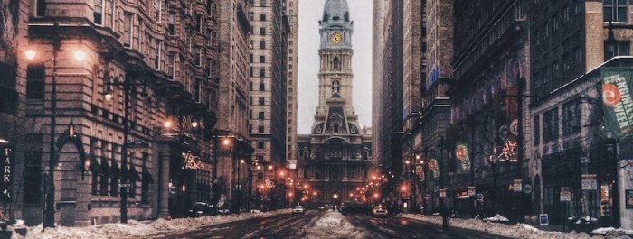
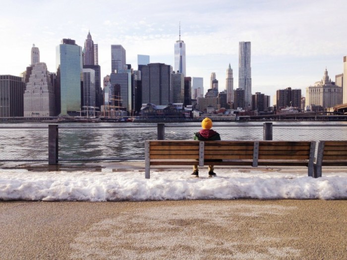
With thermometers perpetually down in the teens and 20s through the end of the work week, New Yorkers have a glimmer of hope to hold on to for Sunday: highs in the 40s (with rain and snow expected). But that’s five days away.
Many New Yorkers spent President’s Day near their closest radiator. Monday was ice cold, but not cold enough to set a record, said John Murray, a meteorologist with the National Weather Service. A low of 3 degrees was recorded in Central Park at 7:29 a.m. on Monday, and the record low of 1 degree was recorded back in 1888. New York is expected to get three to four inches of snow by the end of the morning Tuesday, Murray said. The snowstorm, a quickly moving low pressure area coming up from the coast of the Carolinas, should blow through by the afternoon. The city has issued a snow alert starting at 12:01 a.m. on Tuesday to prepare crews and equipment for snow removal.
Tuesday will see a high of up to 26 degrees, and a low of 19 degrees Tuesday evening.
Wednesday should be the warmest day of the rest of the week, Murray said, with highs around 30 degrees, and a slight chance of snow starting in the afternoon and lasting through the evening.
“Thursday and Friday temperatures will plummet down in the teens,” Murray said.
Saturday will see highs in the lower 30s, and Sunday, up to 40 degrees with a chance of rain and snow showers.
When the temperatures drop, city officials urge residents to report heat and hot water outages by calling 311. According to city records, 311 received 2,329 calls on Saturday and 2,936 on Sunday.
Cold continues through the workweek
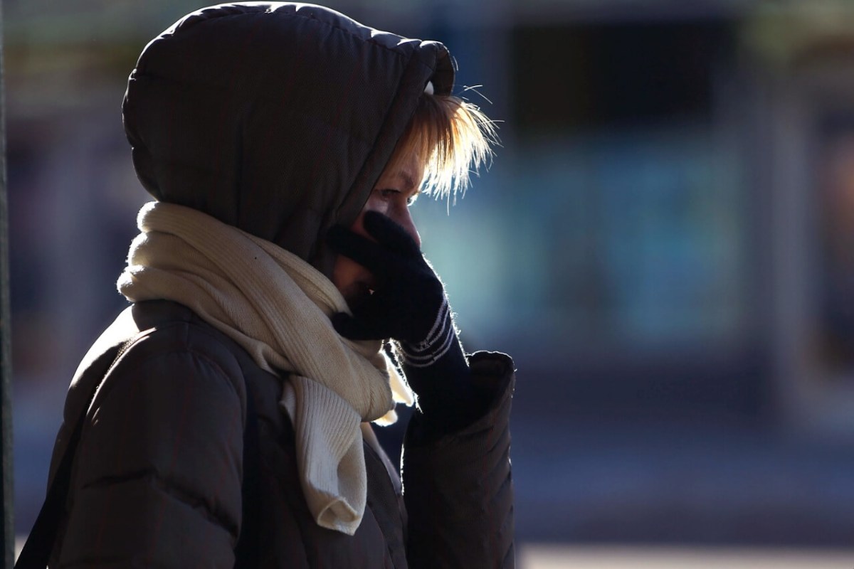
Spencer Platt, Getty Images