Another blast of cold air from Canada is set to move through New York City on Thursday.
Temperatures will start out in the 20s and continue to fall into the teens throughout the day, said David Stark, a meteorologist with the National Weather Service. High winds up to 40 mph will make it feel more like 0 to minus 5 degrees. The city’s Office of Emergency Management has issued a cold alert, and Commissioner Joseph Esposito advised New Yorkers to stay in on Thursday night and avoid the dangerously cold temperatures.
Friday morning could set records, with a low of 3 degrees expected in Central Park. The previous record for Feb. 20 was 7 degrees in 1950.
“We have a pretty good shot at breaking a record,” Stark said.
Highs will only reach the teens on Friday, and temperatures will drop into the single digits Friday night into Saturday.
Saturday will warm up to the 30s, and a system moving through on Sunday will bring light snow, then rain and temperatures in the lower 40s for a wet warm up in the afternoon.
Cold weather pattern continues
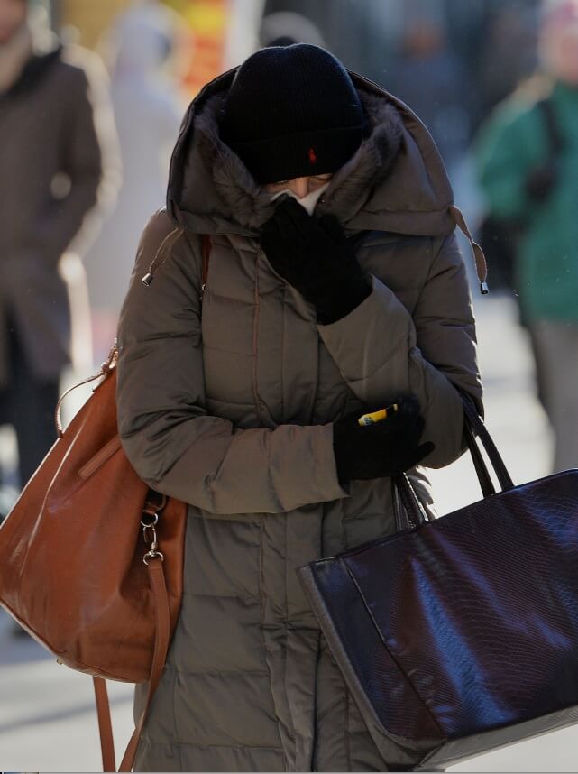
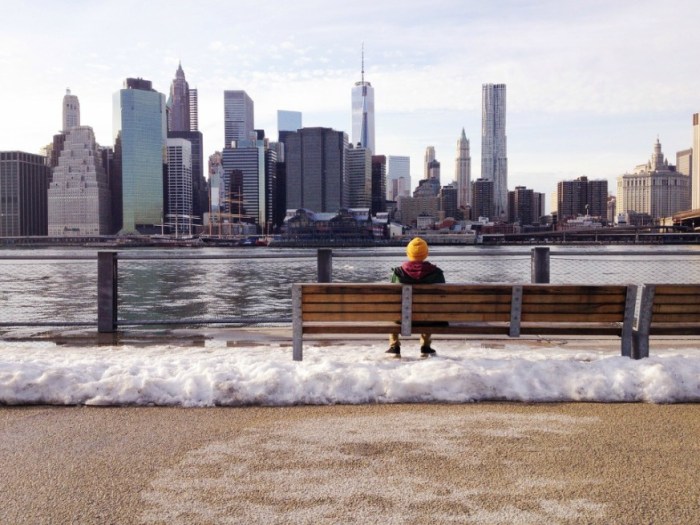
Reuters/Brendan McDermid