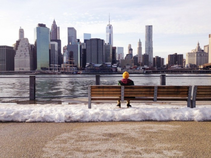
Now that New York City is finally clear of any remnants from the “bomb cyclone” that hit the East Coast two weeks ago, we can expect to see more snow this week, according to the National Weather Service.
Accumulation of 3 to 5 inches is anticipated once the snow starts after midnight Wednesday, and the storm will likely continue through the late morning.
While daytime temperatures will hover in the low- to mid-30s, surely a welcome rise from the frigid single digits and teens we experienced during the bomb cyclone, nighttime temps will drop to the low 20s.
NBC4’s Storm Team forecasted that portions of the Jersey Shore and Long Island could see some rain mixed in with snow in the afternoon Tuesday, due to a low-pressure system developing off the coast.
As the snow and rain mix is expected to last throughout Wednesday morning, you could experience slick conditions on your morning commute, so take caution. And be sure to check mta.info for the most current service conditions on subways, buses and commuter rail.
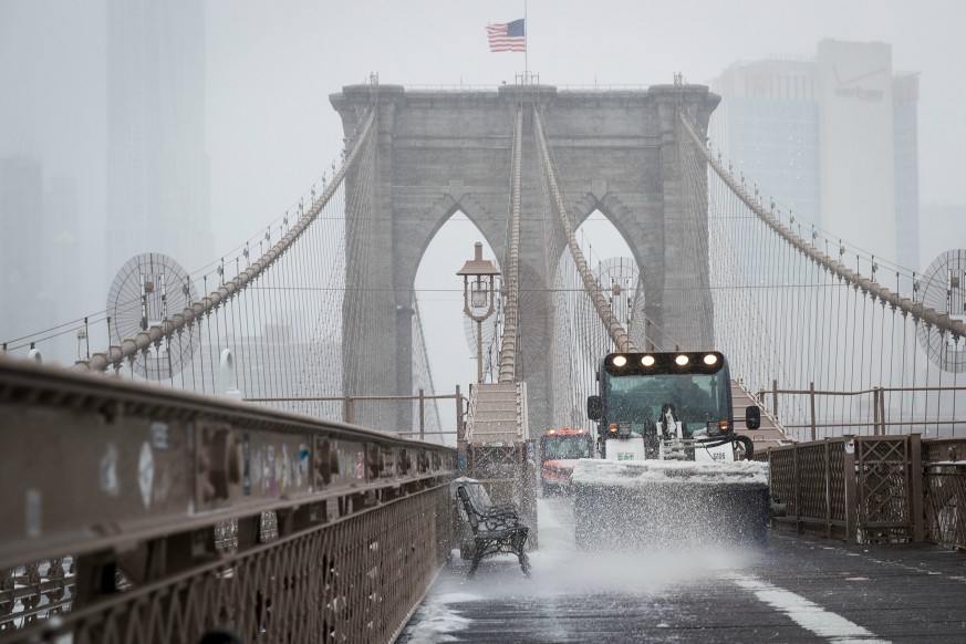
The NWS has already issued a Winter Weather Advisory for New York City, Westchester, the Hudson Valley and parts of southern Connecticut and northern New Jersey from midnight to 6 p.m. Wednesday.
The advisory means that there will be “travel difficulties. Be prepared for snow-covered roads and limited visibilities, and use caution while driving,” the agency warned.
But there’s good news on the horizon as well, as the weather will break by Thursday, which will be sunny with a high near 36, the NWS said. Friday will also be sunny with a high near 38.
By the weekend, we most likely will forget all about the mid-week white stuff as Saturday will be mostly sunny with a high near 46, while Sunday will be even warmer, with a high near 50, though it’ll only be partly sunny, according to NWS forecasters.